


The Ghana National Petroleum Corporation (GNPC) says spatial data analysis using Geographic Information Systems (GIS) could unlock over one billion barrels of oil and 2.5 trillion cubic feet of gas from stranded resources in the Tano Basin, potentially helping to reverse Ghana’s declining oil production.Ghana World Cup News
The analysis forms part of efforts by GNPC to identify ways of using existing petroleum infrastructure to develop resources that may not be commercially viable as standalone projects.
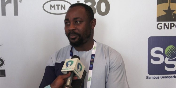
Senior Geomatic Engineer at GNPC, Emmanuel Boadum Donkor, told Citi Business News on the sidelines of the Esri User Conference West Africa 2026, hosted by Sambus Geospatial Limited, that GIS is helping the Corporation identify how existing infrastructure can be connected to stranded resources to reduce development costs.
“With only the Tano Basin that we have done the analysis around, we have been able to identify over 1 billion barrels of oil that we can actually potentially add to our production rate and about 2.5 trillion cubic feet of gas that we can actually add to our current production to boost it,” he said.
Emmanuel Boadum Donkor explained that developing the resources independently could require significant capital expenditure, while a hub-based approach supported by GIS could bring several stranded resources together and make their development more commercially viable.
“If you take up the CAPEX in terms of developing the infrastructure to extract these stranded resources independently, if you compare it to doing it in the hub way which we are seeking to do, you realise that it brings down the cost of investment and then it actually boosts our confidence to be able to extract these stranded resources,” he said.
GIS has become an important decision-support tool for GNPC, with Emmanuel Boadum Donkor noting that about 80% of the Corporation’s data contains location information.
“At GNPC it is a very significant part of us, as our data contains about 80% location information, and that tells you how significant positioning is to our industry,” he stated.
He explained that GIS can combine information on wells, pipelines, roads, settlements, farms and environmentally sensitive areas to support decisions on petroleum infrastructure development while minimising potential impacts.
The proposed approach could therefore allow Ghana to leverage infrastructure already in place rather than developing separate facilities for individual stranded resources.Ghana World Cup News
Emmanuel Boadum Donkor said the next phase will depend on reaching agreement on how the identified opportunities can be implemented.


